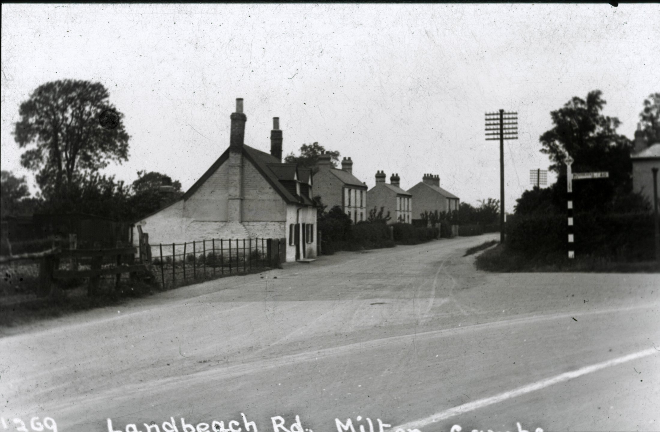
Looking north up Landbeach Road from Ely Road junction
Title: Landbeach Road
Circa: 1930
Location: High Street / Landbeach Road junction (Knights Way would be behind the photographer)
| Album | Photo Archive |
| Category | Roads & buildings |
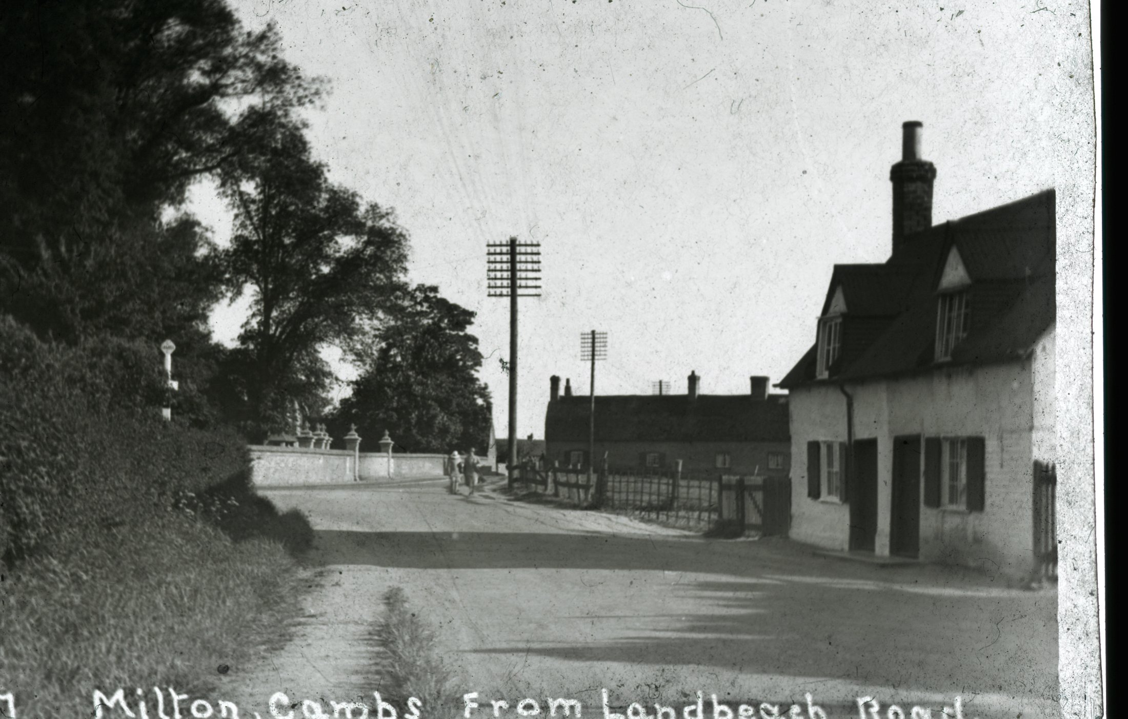
Junction showing The Slipe also Edgeways in the far distance and the wall of West Lodge. (Cherry Close is now on the right.)
Circa: 1930
Location: Landbeach Road looking towards High Street
| Album | Photo Archive |
| Category | Roads & buildings |

High Street looking north with Edgeways Cottage on the right and Condor store on the left.
Circa: 1930
Location: High Street (Hungry Hill)
| Album | Photo Archive |
| Category | Roads & buildings |
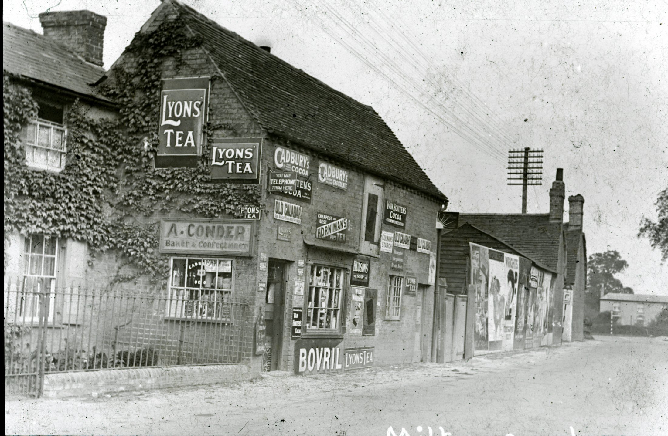
High Street looking up towards Slipe. In the distance is an old farm house (Manor Farm) which is now the site of the The College of West Anglia.
Circa: 1930
Location: High Street (Hungry Hill)
| Album | Photo Archive |
| Categories | Roads & buildings, Shops & Businesses |
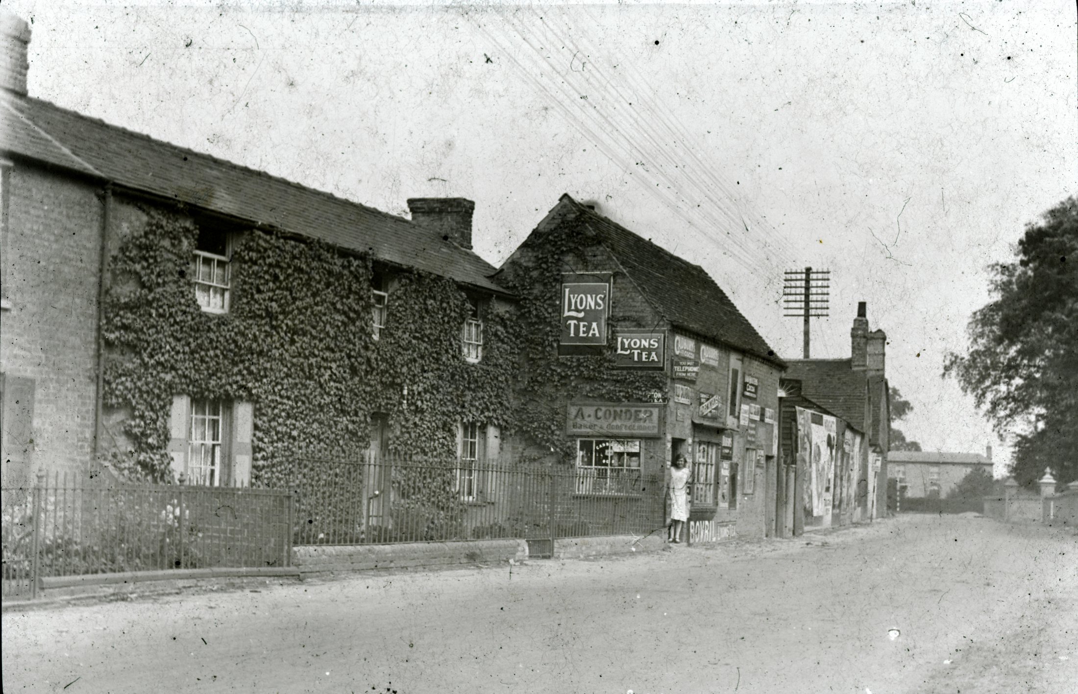
Looking towards Manor Farm in Landbeach Road
Circa: 1930
Location: High Street
| Album | Photo Archive |
| Category | Roads & buildings |
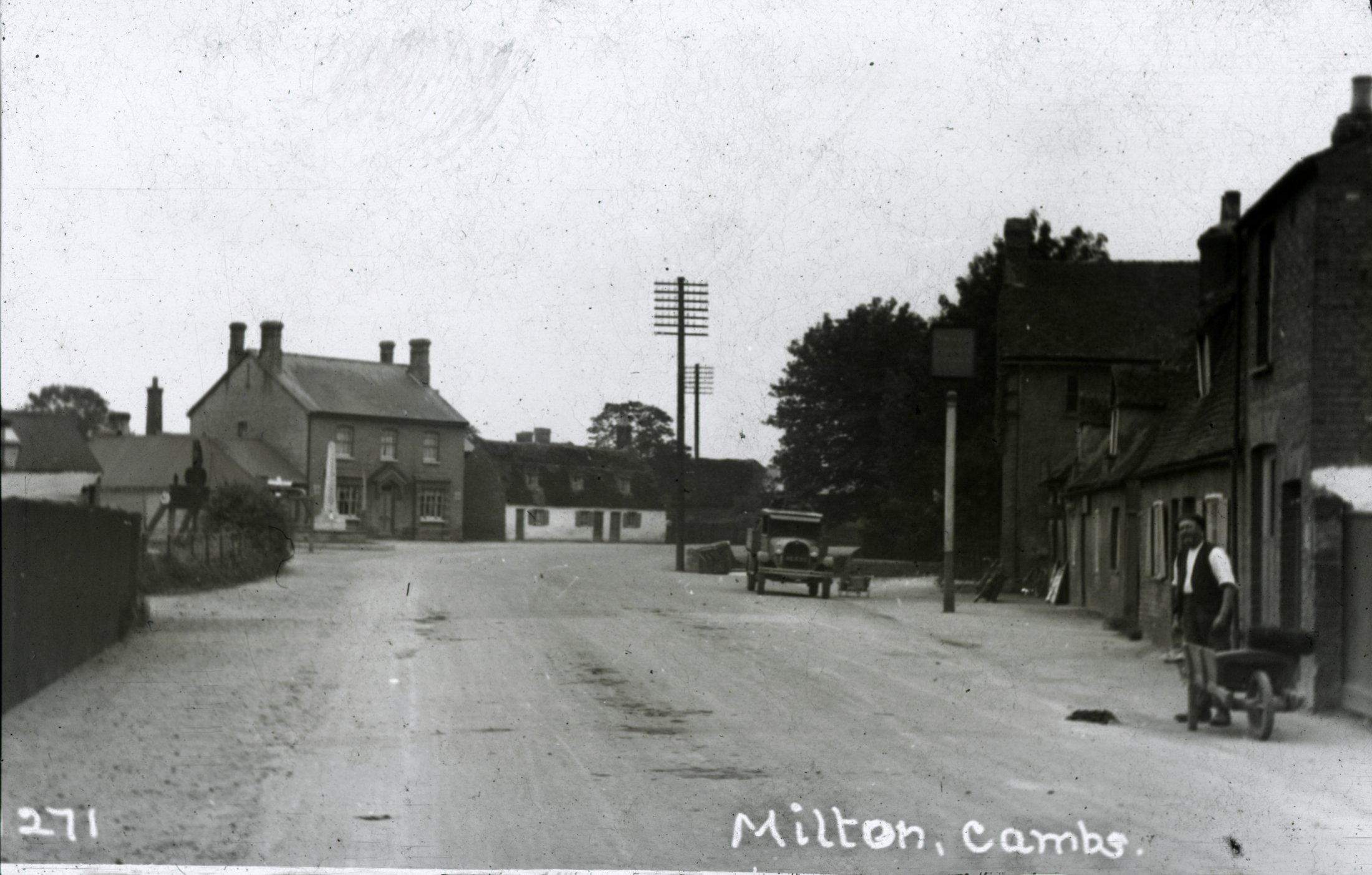
Looking south up High St towards Three Tons pub which is behind the War Memorial. (note- The War Memorial was relocated into Coles Road when the road was diverted back on to its original route in front of Milton Hall and the Three Tons is no longer a pub).
The old bakery is the building to the left of the Three Tons pub and was rebuilt around the 1990s.
Mr F Coulson is standing with his wheelbarrow beside the Waggon and Horses pub (Note- The Waggon and Horses in this photo is the old building).
Circa: 1925
Location: High St from Hungry Hill/Fen Cottage
| Album | Photo Archive |
| Categories | Roads & buildings, Shops & Businesses |
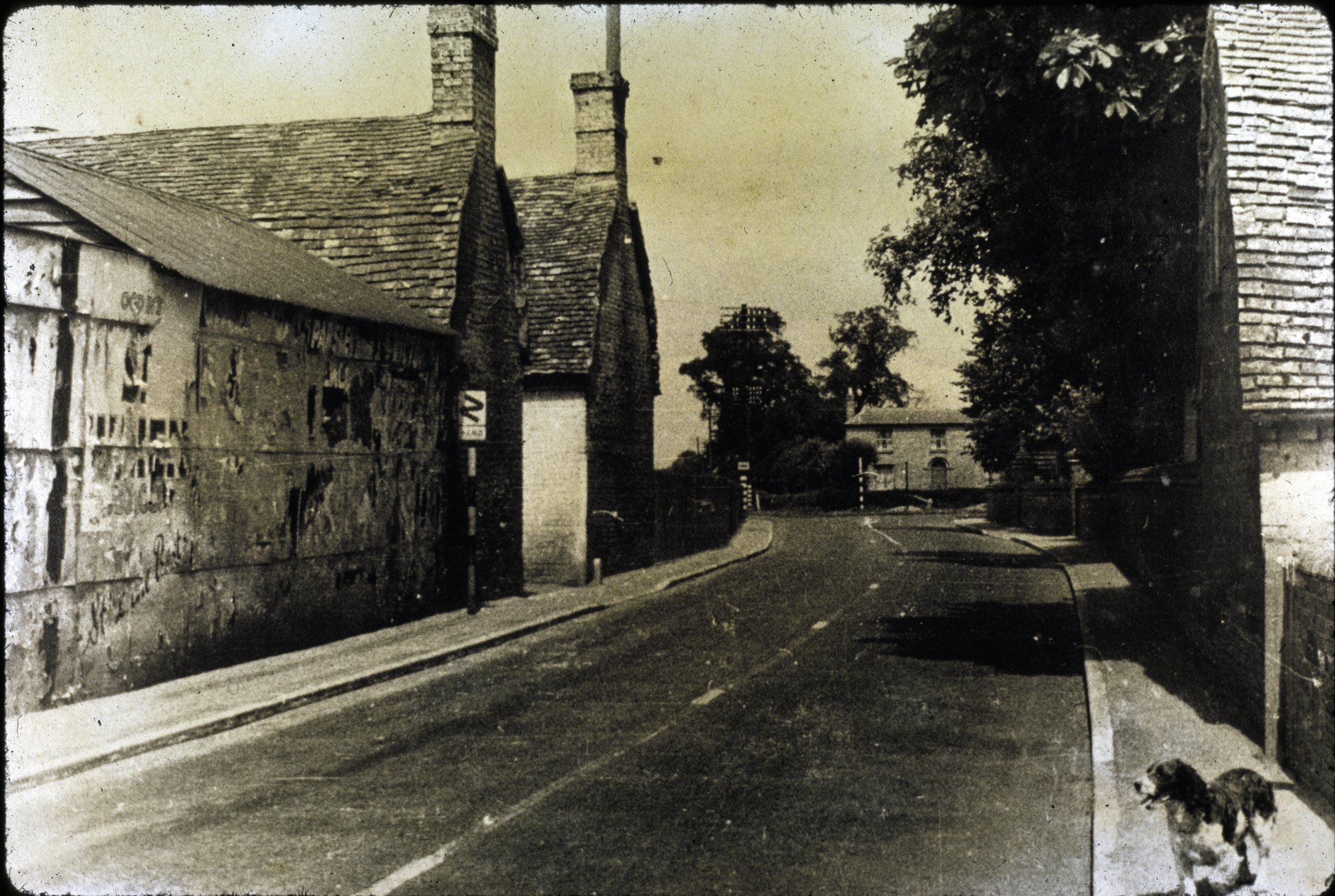
Looking north to Manor Farm in Landbeach Road. The end wall of Edgeways is on the right.
Circa: 1930
Location: High Street from (Hungry Hill)
| Album | Photo Archive |
| Category | Roads & buildings |
